


")


The latest NYC weather forecast indicates a dramatic shift in conditions across the tri-state region. After unusually warm temperatures earlier this week, the area could experience isolated severe thunderstorms Wednesday night, followed by a sudden drop in temperatures that may allow rain to mix with snow on Thursday.
Meteorologists say the rapid transition from near-summer warmth to chilly conditions highlights the unpredictable nature of early spring weather in the northeastern United States.
Record Warmth Followed by Rapid Weather Change
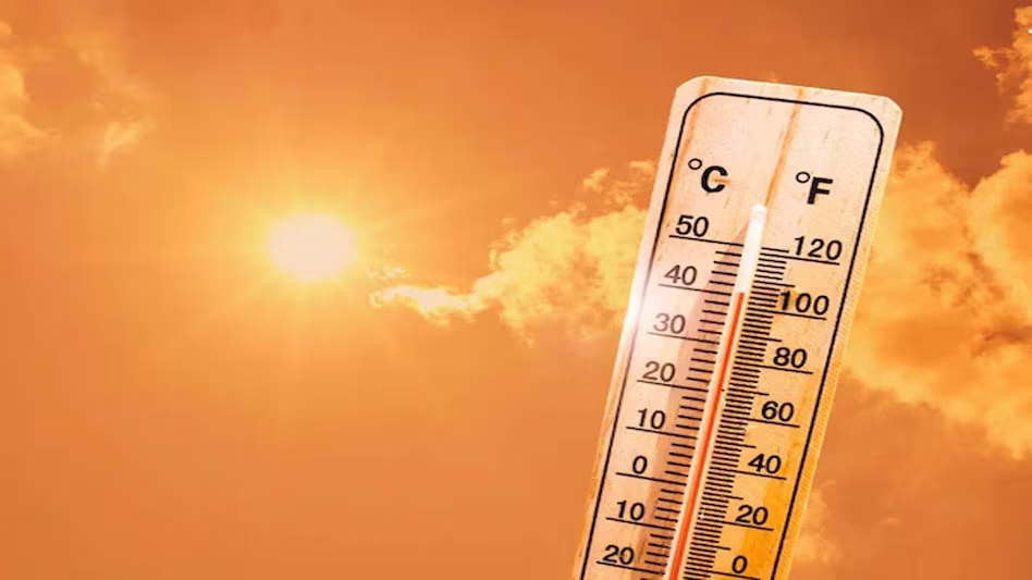
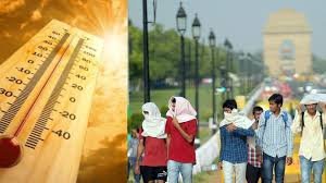
Earlier this week, Central Park recorded temperatures near 80°F, marking one of the earliest occurrences of such warmth in the year for New York City. However, this warm spell is expected to end quickly as a cold front approaches the region.
As the front moves through, temperatures are forecast to drop sharply, bringing cooler air and unstable atmospheric conditions that could trigger storms.

Severe Storm Risk in New Jersey and Nearby Areas
Weather experts warn that the greatest chance for stronger storms will be southwest of New York City, particularly in parts of central and southern New Jersey where warmer air remains in place.
Although the overall threat level is relatively low, some storms could still produce notable impacts.
Main Severe Weather Threats
- Damaging straight-line winds capable of downing branches or causing minor damage
- Small hail, though this risk is considered lower
- Brief heavy rain and gusty winds during storm activity
Storms are expected to develop during the evening hours Wednesday and move from west to east overnight as the cold front approaches the coast.
Hour-by-Hour Storm Timing
Forecast models suggest the most active weather could occur during the late evening and overnight period.
Possible timeline:
| Time | Expected Conditions |
|---|---|
| 8 PM Wednesday | Storms begin developing west of NYC |
| 9–10 PM | Thunderstorms approach New Jersey and surrounding areas |
| 11 PM | Storm activity moves closer to New York City |
| Midnight | Storms weaken as they move toward the coast |
As storms move into cooler air closer to the Atlantic coast, they are expected to gradually lose strength.
Thursday: Sharp Temperature Drop and Strong Winds
Once the cold front passes through, conditions will change quickly.
Thursday morning may begin relatively mild with temperatures in the 50s and 60s, but readings are expected to fall steadily throughout the day.
By the afternoon:
- Temperatures could drop into the 40s
- Wind gusts may reach 30 mph
- Scattered showers may continue across the region
The shift will bring a noticeably colder and more wintry feel compared to the warm start of the week.
Could Snow Mix With Rain?
As colder air settles into the region Thursday evening, some rain showers may briefly mix with snowflakes, particularly during the later hours.
However, forecasters emphasize that snow accumulation is extremely unlikely.
Reasons Snow Is Not Expected to Stick
- Surface temperatures will remain above freezing
- Ground temperatures are still relatively warm
- Any snowflakes that fall will melt immediately on contact
Therefore, residents might see a few flakes in the air, but no measurable snowfall is anticipated.
Cooler Weather Continues Into Friday
The cooler pattern will likely persist through Friday, keeping temperatures well below the early-week highs.
Expected conditions include:
- Chilly temperatures through the day
- Cloudy skies with occasional breezy winds
- No significant precipitation expected
Weekend Weather Outlook
Looking ahead to the weekend, weather conditions should become more stable.
Forecast models indicate:
- Dry weather across the region
- Daytime temperatures close to seasonal averages near 50°F
- Mostly calm conditions compared to the midweek storm threat
This should provide a more typical early-spring climate for the New York City area.
Why March Weather Changes So Quickly
Rapid weather swings are common in March because the atmosphere is transitioning between winter and spring. Warm southern air masses frequently collide with lingering cold northern air, creating unstable conditions that can lead to storms, sudden cold fronts, or even brief snow events.
This week’s forecast is a classic example of that seasonal “weather whiplash.”