


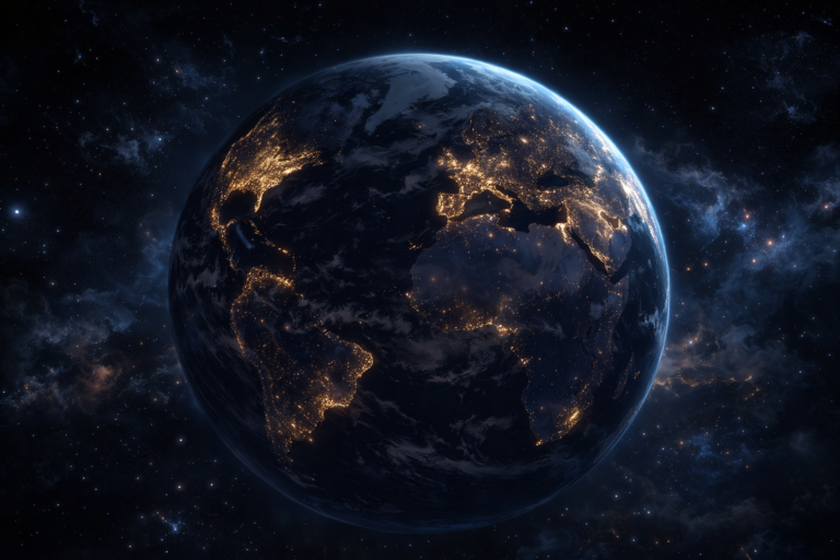


Earth’s city lights at night provide a fascinating view of how human populations are distributed across the planet. Bright illuminated areas represent densely populated urban regions, while darker zones indicate sparsely populated or remote areas.
From this perspective, clear patterns emerge—most major cities are located along coastlines, rivers, and key transportation routes. These light clusters highlight how infrastructure and geography shape human settlement.
🛰️ How This Image Was Created
This global night-time view is based on satellite data collected by the Defense Meteorological Satellite Program (DMSP) using its Operational Linescan System (OLS).
- The satellite captures Earth’s surface in strips (called swaths) during each orbit
- Cloud-free data points are selected and processed
- Over time, multiple observations are combined to create a clear global image
- A grayscale light intensity map is merged with enhanced Earth imagery to produce a realistic night-time visual
🌍 What the Image Reveals
- 🌆 Dense light clusters = Major cities & urban areas
- 🌊 Bright coastlines = High population near oceans
- 🚆 Linear light patterns = Transport networks (roads, railways)
- 🌑 Dark regions = Forests, deserts, and low population zones
📊 Why It Matters
This type of imagery helps scientists and planners:
- Study urban growth
- Analyze energy consumption
- Understand population distribution
- Track environmental and economic activity